Historical Atlas of Sydney
Maps from the City of Sydney Archives

City of Sydney – Survey Plans, 1833

Riley Estate – Woolloomooloo, Darlinghurst & Surry Hills, 1844

City of Sydney (Sheilds), 1845

City of Sydney, 1854

City of Sydney – Detail Plans, 1855

City of Sydney – Trigonometrical Survey, 1855-1865

City of Sydney & Suburbs, 1855

Plans of Sydney (Doves), 1880

Glebe, Camperdown, Newtown, Macdonaldtown & Darlington, 1886

City of Sydney & Suburbs, 1887

Plans of Sydney (Rygate & West), 1888

Glebe Municipality, 1888

City of Sydney, 1903

Central City of Sydney, 1910

Glebe Municipality,1910

Plans of Sydney (Fire Underwriters), 1917-1939

City of Sydney – Civic Survey, 1938-1950

Glebe Municipality,1939
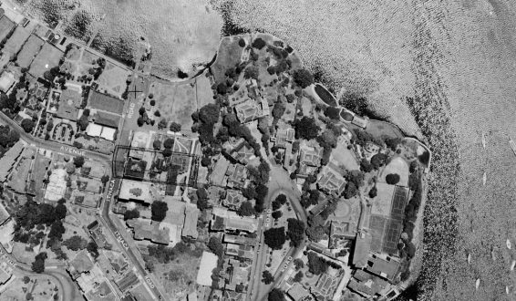
City of Sydney – Aerial Photographic Survey, 1949

City of Sydney – Building Surveyor’s Detail Sheets, 1949-1972
